


The National Weather Service (NWS) office in Sacramento shared a map revealing that Lake Shasta, the state’s biggest reservoir, will receive up to an inch of rain as a storm unleashes more precipitation.
California has faced an abnormally wet winter as moisture-laden storms and atmospheric rivers dumped a deluge of rain and snow on the state beginning in January. The excessive rainfall has resulted from a slew of atmospheric rivers that have battered the state this year. Last year, more than a dozen of them helped alleviate the state’s severe drought situation and replenished many of the state’s reservoirs, but the storms also caused devastating floods and landslides.
Atmospheric rivers are defined as a “long, narrow region in the atmosphere—like rivers in the sky—that transport most of the water vapor outside of the tropics,” according to the National Oceanic and Atmospheric Administration.
The third in a series of back-to-back storms began in California on Friday, bringing heavy rain across much of the state. In the Sacramento region, the heaviest rain was expected to fall on Friday afternoon. According to a map shared by the NWS, Redding, California—home to Lake Shasta—was forecast to receive up to an inch of rain from the storm.
“Precipitation will continue to spread across the area today through Saturday, with the heaviest expected this afternoon into early Saturday. Here’s a look at the latest forecast rainfall & snowfall totals. Expect mountain travel delays & chain controls,” NWS Sacramento posted on X, formerly Twitter, with the map.
Precipitation will continue to spread across the area today through Saturday, with the heaviest expected this afternoon into early Saturday. Here’s a look at the latest forecast rainfall & snowfall totals. Expect mountain travel delays & chain controls. #cawx pic.twitter.com/1h0IVxPxQT
— NWS Sacramento (@NWSSacramento) March 29, 2024
National Weather Service
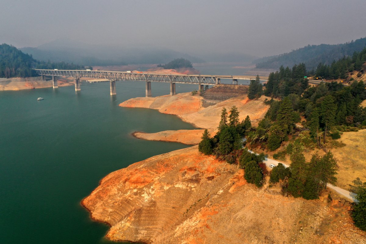
As of Friday morning, Lake Shasta water levels were at 1,050.47 feet, less than 17 feet below full pool.
“Current interior NorCal reservoir water storage is at 90% of capacity at Shasta, Oroville 87%, Bullards Bar 86%, Folsom 70%, Camanche 82%, New Melones 83% and Don Pedro at 83% of capacity,” NWS Sacramento posted on X.
Current interior NorCal reservoir water storage is at 90% of capacity at Shasta, Oroville 87%, Bullards Bar 86%, Folsom 70%, Camanche 82%, New Melones 83% and Don Pedro at 83% of capacity. #cawx
— NWS Sacramento (@NWSSacramento) March 29, 2024
Lake Shasta’s situation has significantly improved since the summer of 2022 when water levels at reservoirs across the state reached concerning lows after experiencing years of drought. An abnormally wet winter season last year replenished many of the lakes, which have continued to recover after another wet winter this year.
Lake Shasta’s levels have recovered so well that water officials have released billions of gallons of water from the lake because it was too high. Despite the release, the lake is 16 feet higher than it was this time last year, and 110 feet higher than it was in late March of 2022.
The region can expect at least a little dry weather before rain returns.
“After this system we will have some clearing at least for the first part of the week,” NWS meteorologist Jeffery Wood told Newsweek. “There’s potential for another weather system to move in toward the end of next week as well.”
The incoming system could bring some showers to the higher elevation areas in the Sierra Nevada mountains and in Shasta County, but the valley isn’t expecting any rainfall.
Getty
Uncommon Knowledge
Newsweek is committed to challenging conventional wisdom and finding connections in the search for common ground.
Newsweek is committed to challenging conventional wisdom and finding connections in the search for common ground.