


A late-season winter storm hitting California is having a major impact in some areas, according to a map shared by the National Weather Service (NWS).
California has faced an abnormally wet winter as moisture-laden storms and atmospheric rivers dumped a deluge of rain and snow on the state, beginning in January. The heavy rainfall has come because of a slew of atmospheric rivers that have battered the state this month.
Last year, more than a dozen of them helped alleviate the state’s severe drought situation and replenished many of the its reservoirs, but the storms also caused devastating floods and landslides.
Atmospheric rivers are defined as a “long, narrow region in the atmosphere—like rivers in the sky—that transport most of the water vapor outside of the tropics,” according to the National Oceanic and Atmospheric Administration.
National Weather Service
Three back-to-back storms will bring more snow and rain to California. The first storm hit last weekend, and the second began on Wednesday. The third storm will hit this coming weekend and will likely be the last moisture-laden storm of the season in Southern California, although northern parts of the state can still expect more storms.
According to a map from the NWS, the northern Sierra Nevada mountains will experience moderate and major impacts from the current storm.
“Moderate to heavy snow will impact the northern Sierra and southern Cascades today-Thursday AM. Snowfall rates up to 1-3 inches per hour are expected at times late today into early Thursday with hazardous mountain travel,” the NWS office in Sacramento posted on X, formerly Twitter, on Wednesday. “Travel is discouraged.”
Moderate to heavy snow will impact the northern Sierra and southern Cascades today-Thursday AM. Snowfall rates up to 1-3″ per hour are expected at times late today into early Thursday with hazardous mountain travel. Travel is discouraged. #cawx pic.twitter.com/aIpniFVSOk
— NWS Sacramento (@NWSSacramento) March 27, 2024
The areas most impacted by the snow will be “Western Plumas County/Lassen Park and West Slope of the Northern Sierra Nevada above 5,500 feet, including Interstate 80 over Donner Summit and Highway 50 over Echo Summit,” the NWS said in a report on its website.
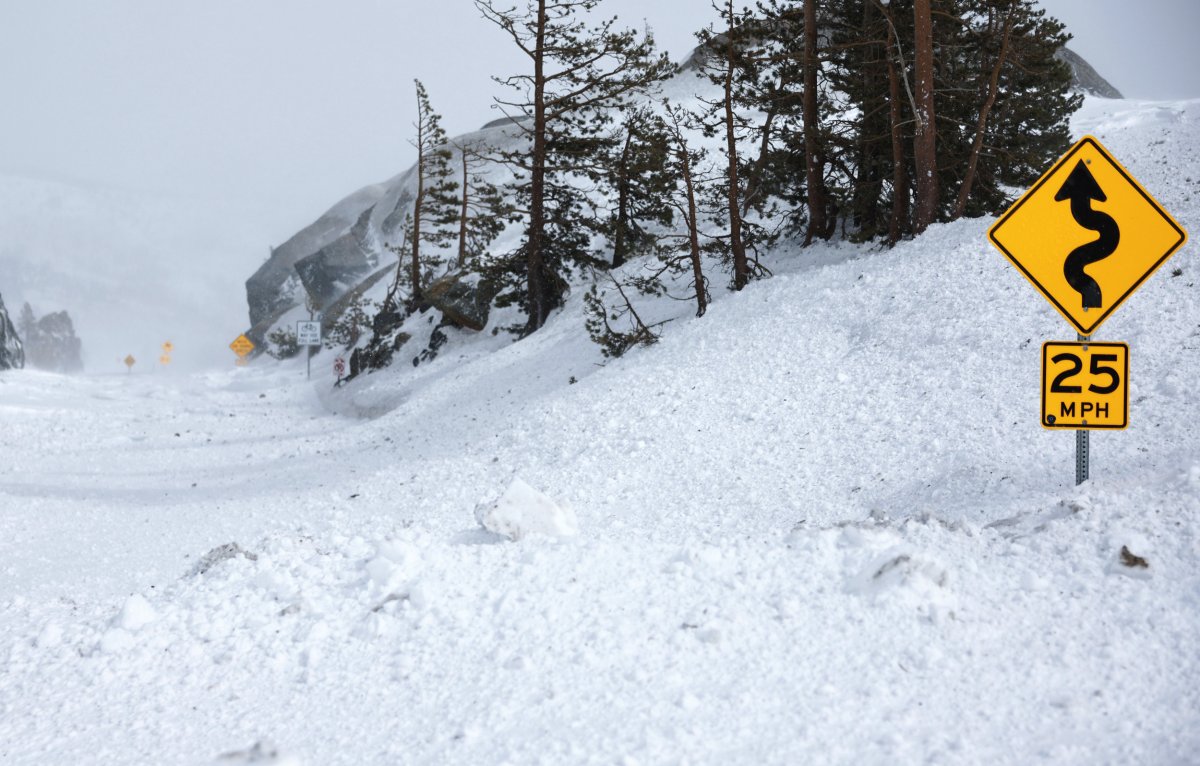
The NWS shared a follow-up post later in the evening that showed a picture of a snowy roadway.
“At 8:30 p.m., Snow was starting to stick to the roadways along I-80 east of Blue Canyon. Chains are required. Expect slow travel and slippery conditions if going over the crest tonight,” the post said.
Meteorologists were expecting additional snow accumulations of up to 15 inches in some areas when they issued the report just after 1 a.m. local time on Thursday morning.
“Difficult mountain travel from delays, snow-covered roads, and chain controls. The hazardous conditions could impact the morning or evening commute,” the report said.
NWS meteorologist Nathan Rick told Newsweek that snow will begin to fall on Friday in the third storm. Up to 2 feet could fall in the highest peaks, and Interstate 80 is expected to receive 12 to 18 inches of additional snow.
Getty
Uncommon Knowledge
Newsweek is committed to challenging conventional wisdom and finding connections in the search for common ground.
Newsweek is committed to challenging conventional wisdom and finding connections in the search for common ground.