


A strange new lake that only recently formed in Death Valley has been filling up with water, thanks to the atmospheric rivers that hit California this month.
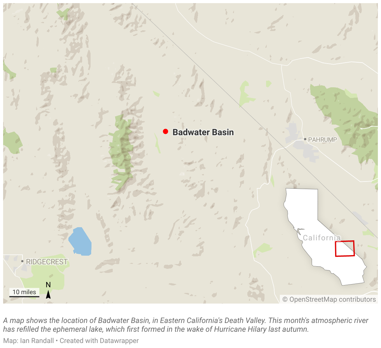
The Badwater Basin, renowned for being the lowest point in North America, was a famous salt flat for many years before it flooded into a lake after the heavy rainfall from Hurricane Hilary last year.
The lake has been gradually emptying since its formation in August 2023, but NASA images taken from the Operational Land Imager sensor on the Landsat 8 satellite and the OLI-2 on Landsat 9 reveal that it has been filling back up as a result of the atmospheric river storms.
NASA Earth Observatory images by Wanmei Liang, using Landsat data from the U.S. Geological Survey.
The Badwater Basin is about 130 miles west of Las Vegas and has an elevation of 282 feet below sea level. The salt flats are about 200 square miles in area and consist mostly of sodium chloride (table salt) as well as calcite, gypsum and borax.
Death Valley is one of the hottest places on Earth and holds the record for the highest reliably reported air temperature ever recorded on the planet, a scorching 134 degrees F. This was recorded on July 10, 1913, at Furnace Creek Ranch. Summer temperatures often exceed 120 degrees F. The desert valley receives almost no rain, only about 2 inches every year.
The lake suddenly appeared in the aftermath of last summer’s Hurricane Hilary, which drenched Death Valley with 2.89 inches of rain in a short period.
“Some spectacular things happened in Death Valley following the floods we received from remnants of Hurricane Hilary back in August,” Death Valley National Park said in an Instagram post last year after Hilary hit. “Ephemeral lakes popped up around the park, which is both pretty rare and amazing! They disappear fast, so they most likely will not be there when you visit.”
It was expected that the lake would rapidly recede, but it was still around even when multiple atmospheric rivers hit California this month. Now, the levels have risen further after the atmospheric rivers poured 1.5 inches onto the park between February 4 and 7.
“After reviewing the feedback, we decided to keep the lake on Badwater Basin. You all seem to really like it, and honestly after the recent rain we had no choice,” the national park said in a post on Monday. “We are fully embracing our water era.”
On Wednesday, the lake was up to 1 foot deep in places and has grown to around the same area that it had after Hilary.
The lake will likely shrink again as we head into spring and summer and the park dries out. But for now, new visitors are flocking to see the rare and ephemeral sight.
Do you have a tip on a science story that Newsweek should be covering? Do you have a question about lakes? Let us know via [email protected].
Uncommon Knowledge
Newsweek is committed to challenging conventional wisdom and finding connections in the search for common ground.
Newsweek is committed to challenging conventional wisdom and finding connections in the search for common ground.