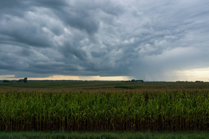
National Weather Service (NWS) meteorologists issued a tornado watch for six states on Tuesday afternoon as a storm system traveled across the Great Plains.
The strong low-pressure system began affecting the Central U.S. on Tuesday morning, and the NWS Weather Prediction Center said the storm would move through the Plains and Mississippi Valley throughout the day. The storm is bringing a “sustained arc of showers and thunderstorms” over the Northern Plains and into the Upper Midwest.
A tornado warning was issued briefly on Tuesday morning, and a tornado watch has continued in the area.
The states most at risk for tornados through Tuesday evening are South Dakota, Nebraska, Iowa, Missouri, Wisconsin and Illinois.
Getty
“A renewed round of storms is expected along and ahead of the cold front Tuesday afternoon,” the Weather Prediction Center warned in a key messages report.
It continued: “The Storm Prediction Center has issued an Enhanced Risk of Severe Weather (level 3/5) for portions of southern Iowa, northeastern Missouri, and far western Illinois where these storms will pose a threat for very large hail, damaging winds, and tornadoes, including the risk for a strong tornado.”
NWS Weather Prediction Center meteorologist Richard Bann told Newsweek that meteorologists anticipate the storm will be a “typical spring storm” with no winter component. However, tornadoes are a concern as the squall line pushes east.
A “Slight Risk,” or Level 2/5, extends more broadly, southward through Missouri and into northern Arkansas. An isolated threat of storms exists in that area.
“In addition to severe weather, rounds of heavy rainfall from the more widespread storms over the Upper Midwest along with potentially more scattered but heavier downpours with storms to the south through the Middle Mississippi Valley will pose a threat for some isolated flash flooding,” the Weather Prediction Center said.
The storm system also brought a severe thunderstorm warning to Missouri and Iowa. A flash flood warning and flood warning were issued for northeastern Nebraska.
For the thunderstorm warning, meteorologists warned of hail damage and strong winds.
“Hail damage to vehicles is expected. Expect wind damage to roofs, siding, and trees,” the thunderstorm warning for St. Louis warned.
By Wednesday, the storm system will continue its trek eastward, where it will affect the Great Lakes and Ohio Valley regions.
“A renewed round of storm development is expected ahead of the front by Wednesday afternoon, with a Slight Risk of severe weather in place from eastern Indiana into southern Michigan and western Ohio for the threat of large hail, damaging winds, and a few tornadoes,” the message said.
It continued: “The storms are forecast to continue overnight Wednesday into the Mid-Atlantic. Again, similar to Tuesday, more widespread rainfall over the Great Lakes and the potential for some more potent downpours with storms further south will pose a threat for some isolated flash flooding.”
Uncommon Knowledge
Newsweek is committed to challenging conventional wisdom and finding connections in the search for common ground.
Newsweek is committed to challenging conventional wisdom and finding connections in the search for common ground.


